Estimate: $200 - $400
Hammer Price: $125
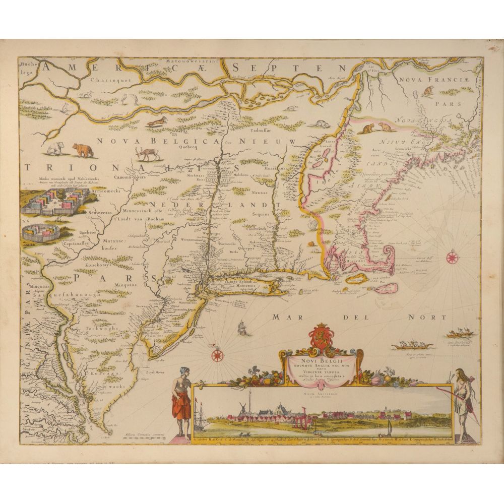
Dimensions: Height: 15 1/8 inches, Width: 20 1/8 inches (sight); Frame Height: 17 1/2 inches, Frame Width: 22 inches
Condition: overall light to heavy wear consistent with normal use, both having foxing, France having creases, stains, tears, frames having wear, overall light to heavy wear consistent with normal use, both having foxing, France having creases, stains, tears, frames having wear
Disclaimers: not inspected out of frames
Shipping: Quote Shipping